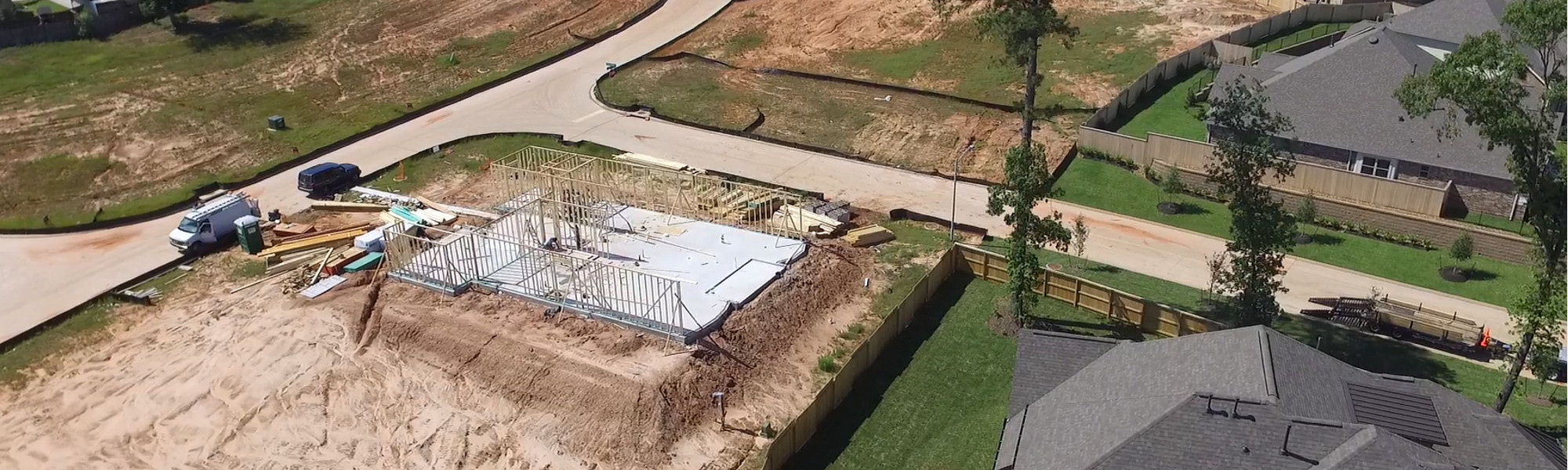
Surveys can be conducted at various points in the construction process to stake out markers, establish reference points to guide construction, identify topographic features and document progress and compliance. Among these are:
As-Built Surveys to verify that authorized construction has been completed in compliance with specifications established during the planning phase and as shown in the site plan.
Boundary Surveys to establish the legal property boundaries of commercial property.
Construction Stake-Out Surveys to document horizontal and vertical positions of proposed improvements.
Construction Staking to ensure the property matches the site plan and engineering design for mass grading, building offsets for construction, utilities, parking lots, streets, curbs and gutters.
Digital Terrain/Elevation Modeling to create a digital representation of terrain and ground topography.
Easement Surveys to determine if there are easements associated with a property and the exact location.
Topographic Surveys to identify and note a commercial property’s elevation and natural features, such as trees, ravines, streams, and hills, among others, as well as and manmade features on the property, including buildings and improvements.