
A home represents one of the largest, if not the largest, investment a person makes. Our role is to protect that investment by conducting a thorough, accurate survey that:
- Creates an official and permanent official record of land placement, property lines, easements and boundaries
- Protects against property line disputes
- Provides a point of reference in determining land value
By law, residential land surveys must be conducted under the supervision of a licensed land survey professional when you purchase a home, install a pool, build a fence, construct a home edition or obtain a FEMA Flood Elevation Certificate for a mortgage company or insurance provider.
Texas Professional Surveying has earned an excellent reputation in Montgomery County and surrounding communities — Conroe, Cleveland, Huntsville, Spring, Willis, The Woodlands — as a trusted source for an extensive range of residential land surveys:
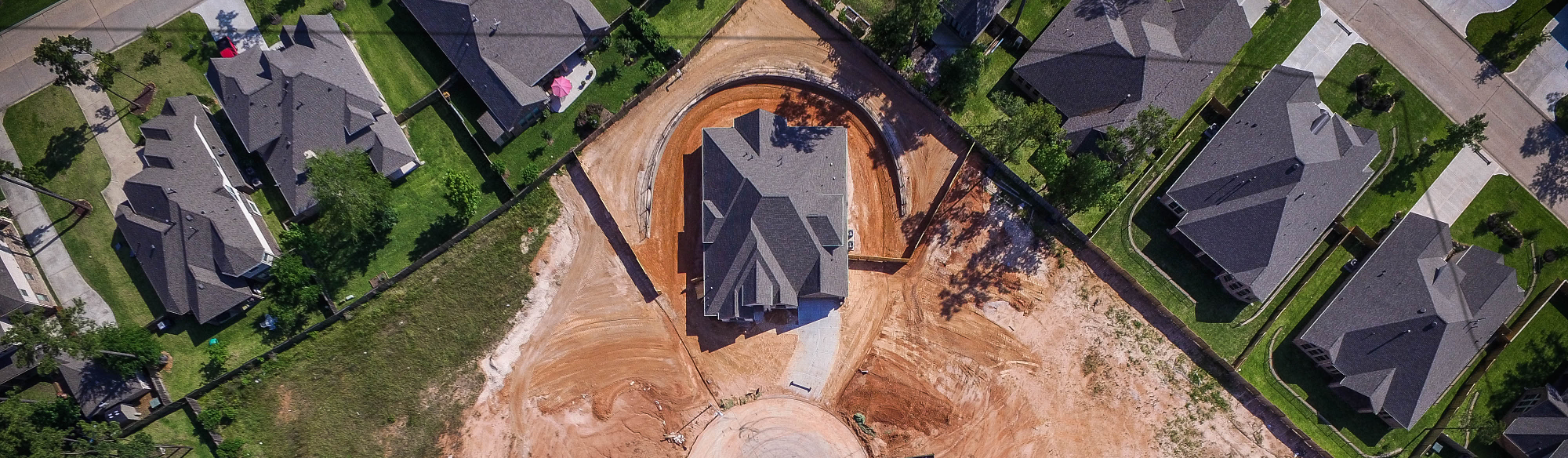
As-Built Surveys to verify that authorized construction has been completed in compliance with specifications established during the planning phase and as shown in the site plan.
Boundary Surveys to establish the legal property boundaries of residential property.
Deed Descriptions to articulate in metes or bounds a property’s exact location, measurements, property boundaries and proximity to neighboring properties.
Foundation Location Surveys to pinpoint foundation placement, ensure compliance with codes and with respect to property boundaries.
House Site Plans after a survey is performed to demonstrate proposed development, property location, property lines, as well as existing structures, roads, sidewalks, driveways, drainage paths and bodies of water.
Improvement Location Surveys to record existing, recent or proposed on-site property improvements.
Lot Consolidation Plats to combine multiple properties into one parcel of land.
Lot Splits to stake the boundaries of a parcel of land along a public street for a division into two or more parcels for the purpose of transfer of ownership.
Property Line Staking to physically mark boundary lines at defined intervals and corners to visually identify property lines and maximize utilization of the land.